- TOP
- Map of Kamo Shrine
Overview
Important Cultural Property
Map of Kamo Shrine
- Museum No.
- MK167
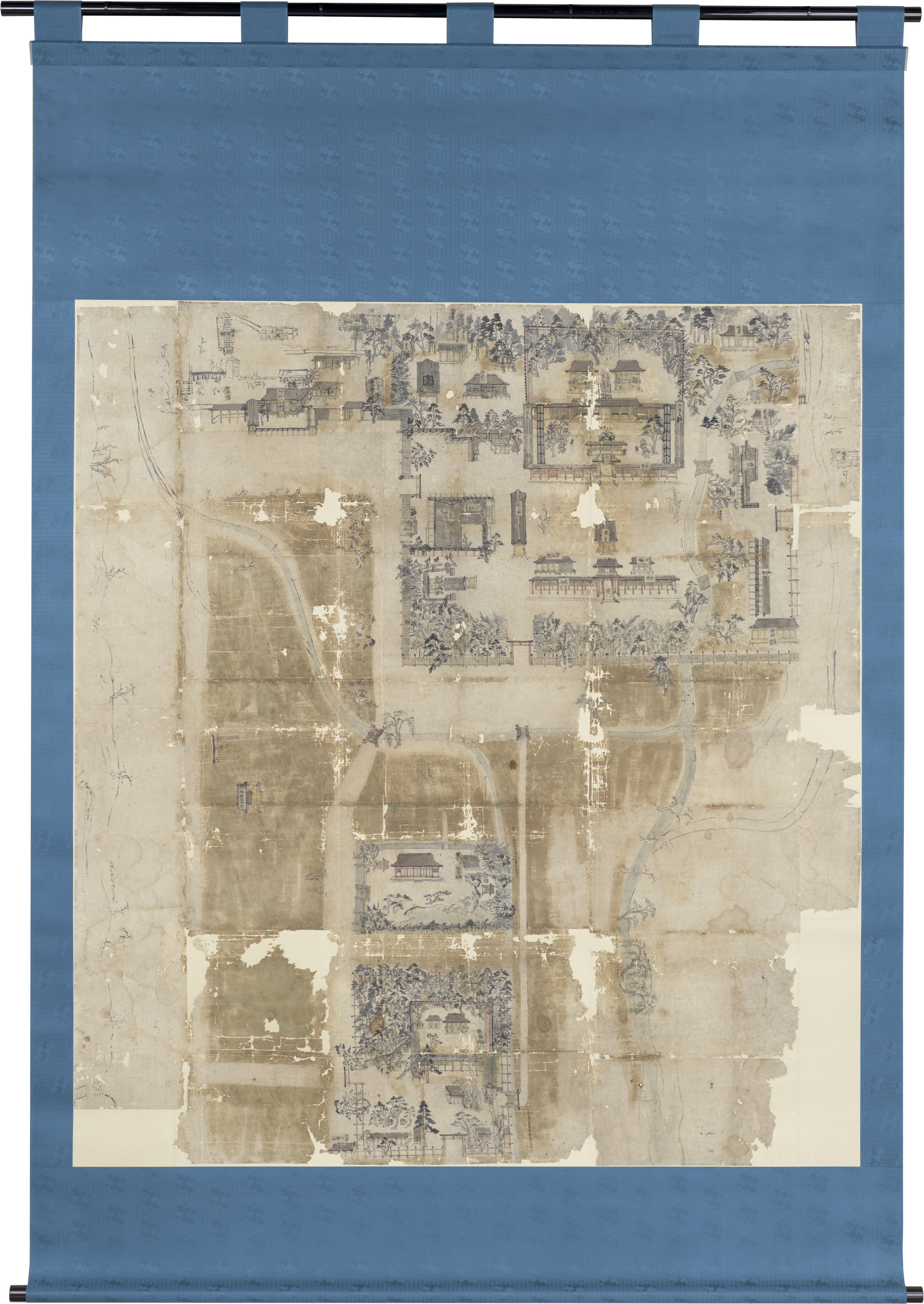

Photo No:200109_AL_0020
Color type:Color


Showing 1-6 of 24


| Title | Map of Kamo Shrine |
|---|---|
| Designation | Important Cultural Property |
| Artist | |
| Category | History(M) |
| Region | Japan |
| Period | Muromachi |
| Century | 15th |
| Year | |
| Quantity | |
| Materials | |
| Dimensions | |
| Inscription by | |
| Signature/Seals Etc | |
| Donor |
- Share >
-


This object may be one within a set or the title of a set. To see all objects in the set, perform a Category Search by the Museum Number below, entering numerals only before the hyphen.
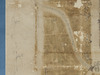
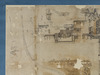
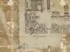
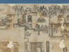
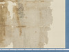
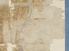
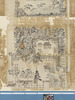
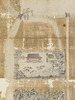
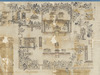
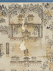
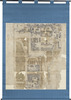
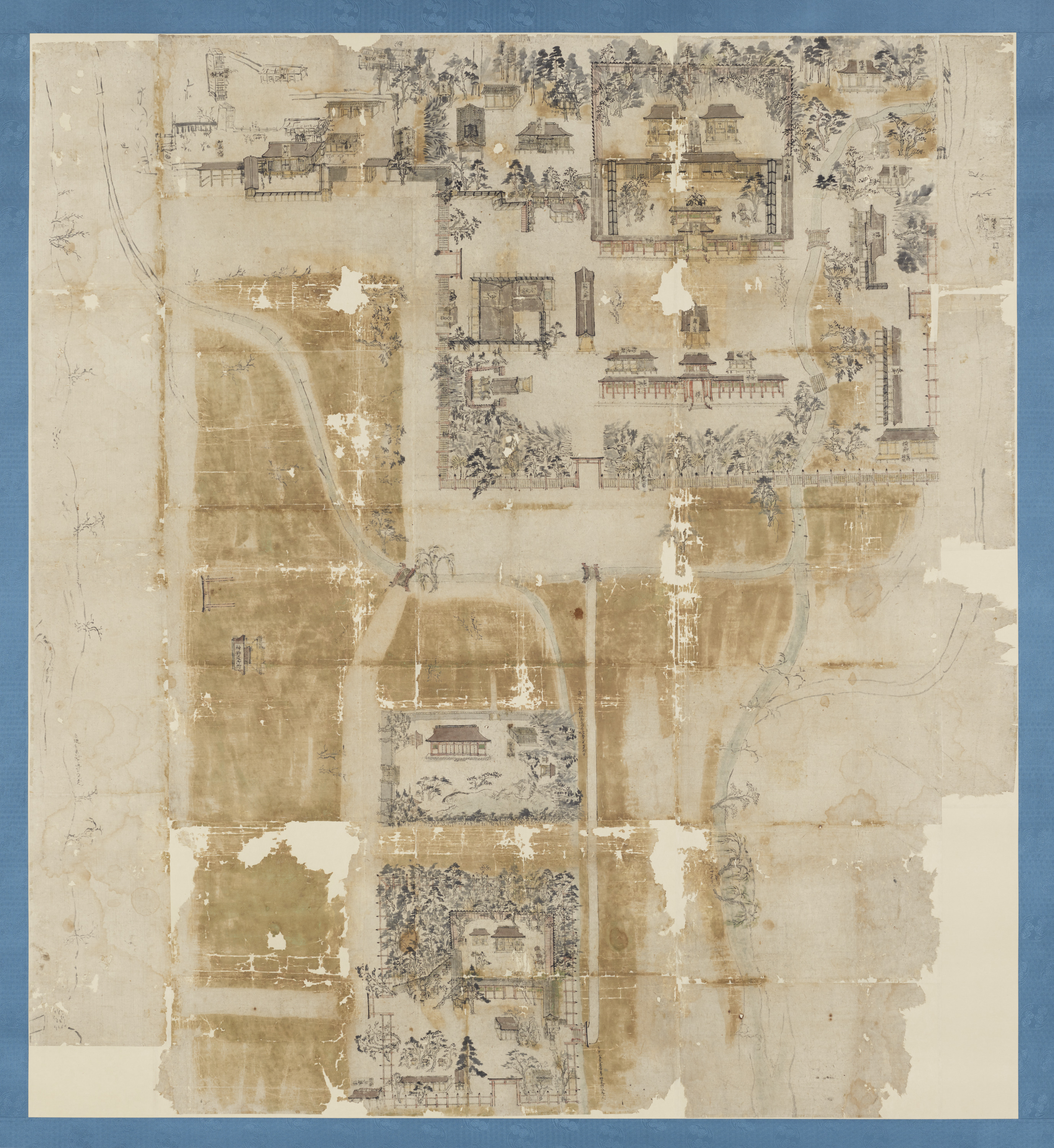
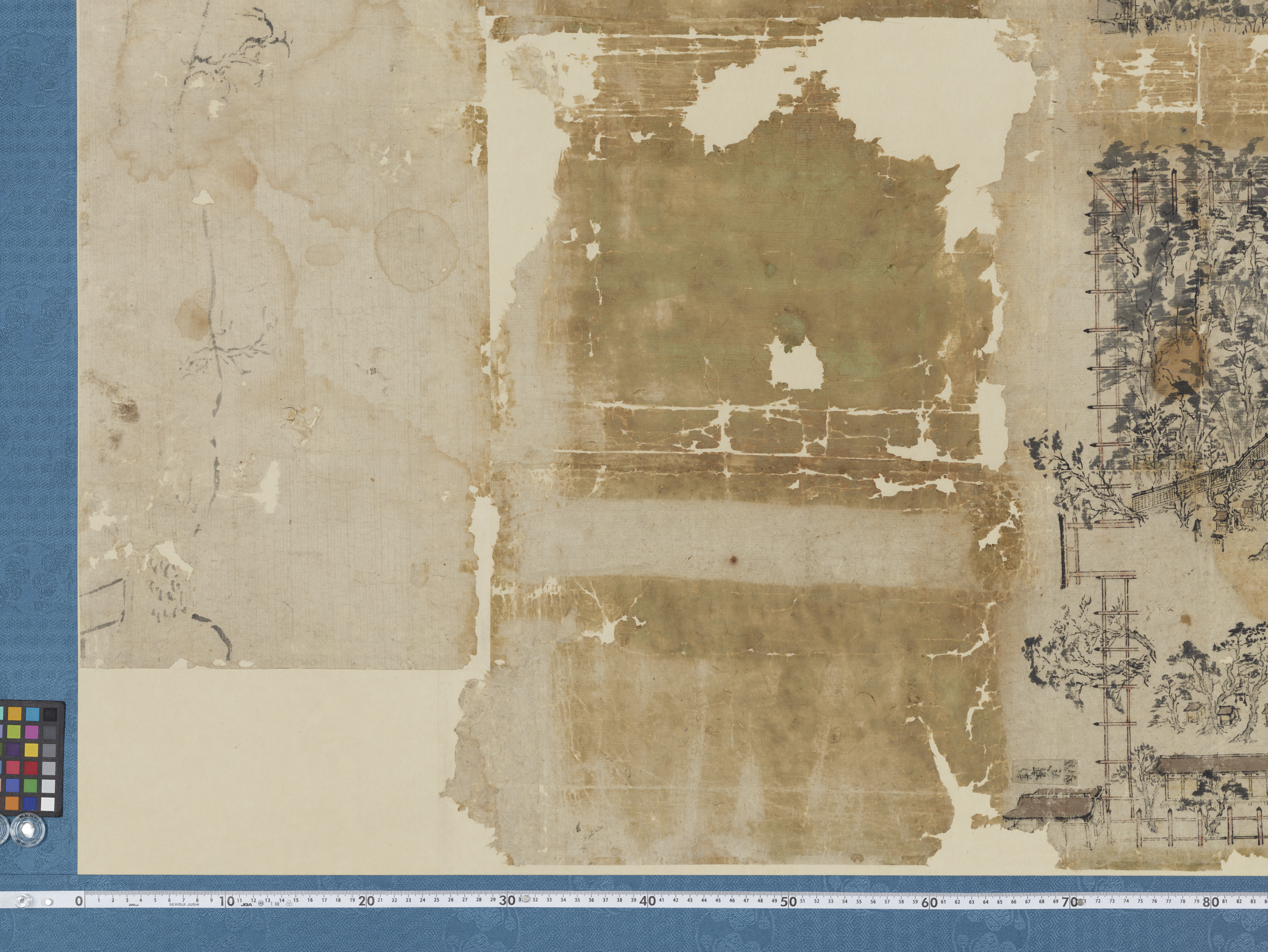
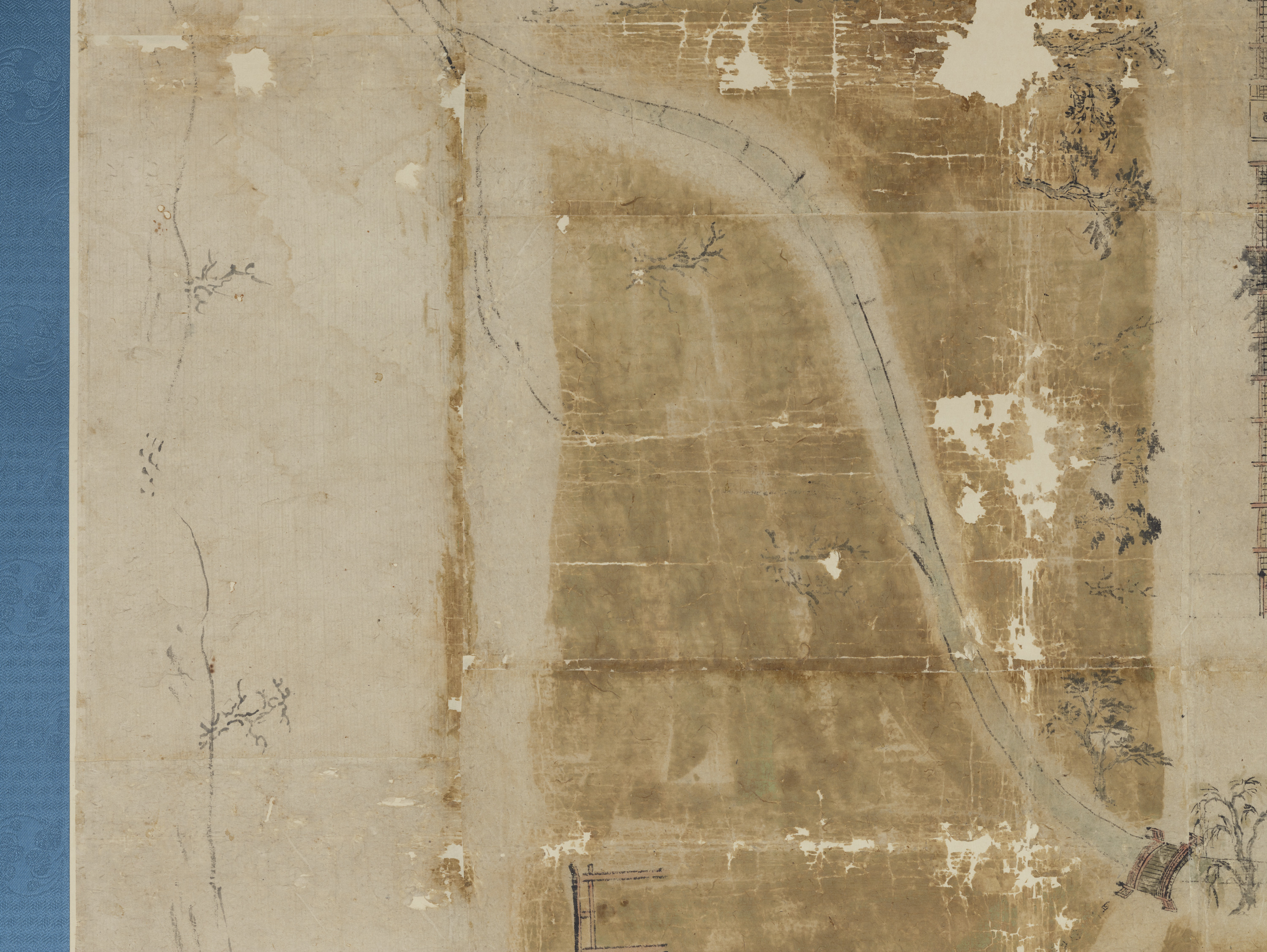
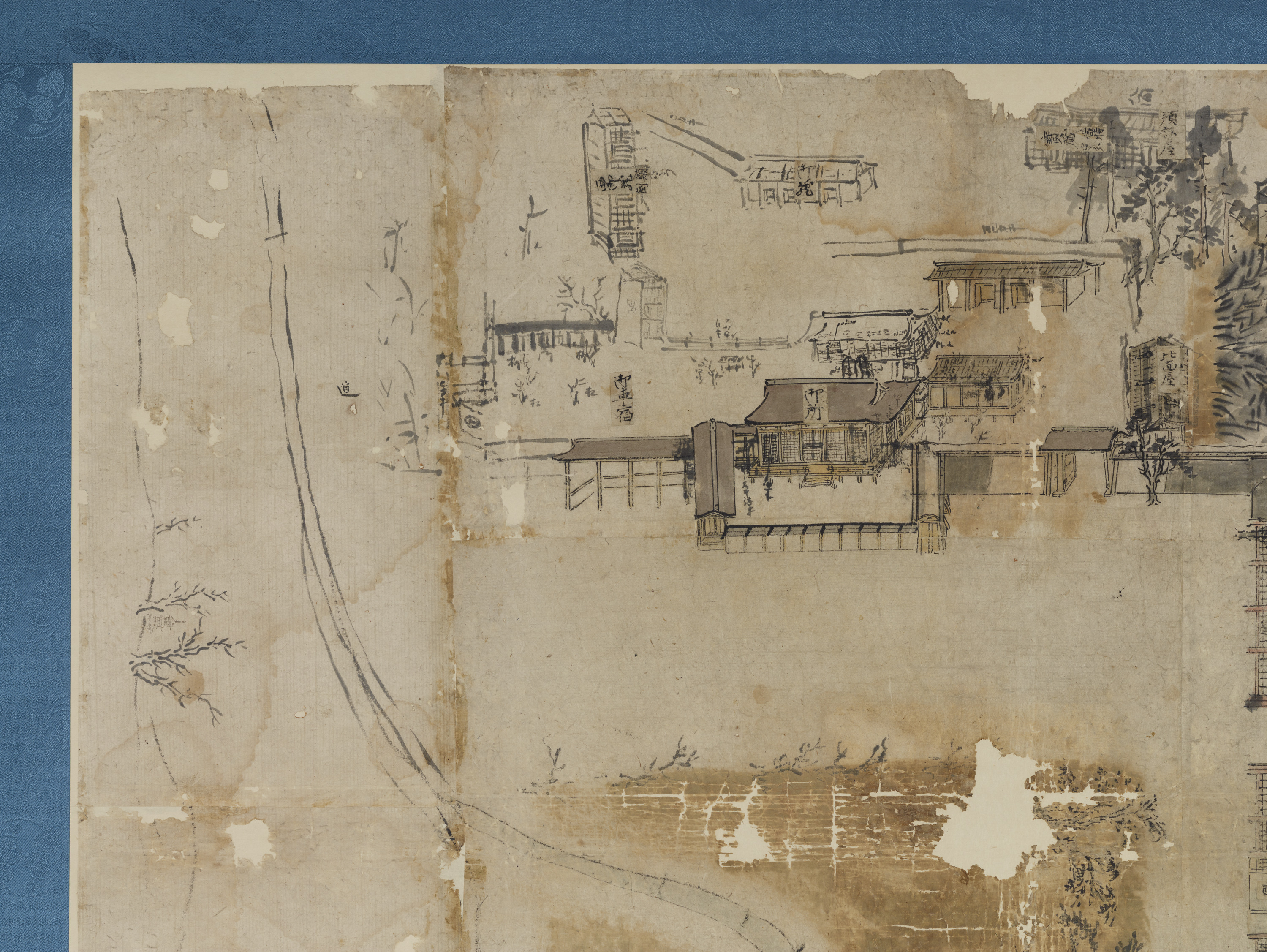
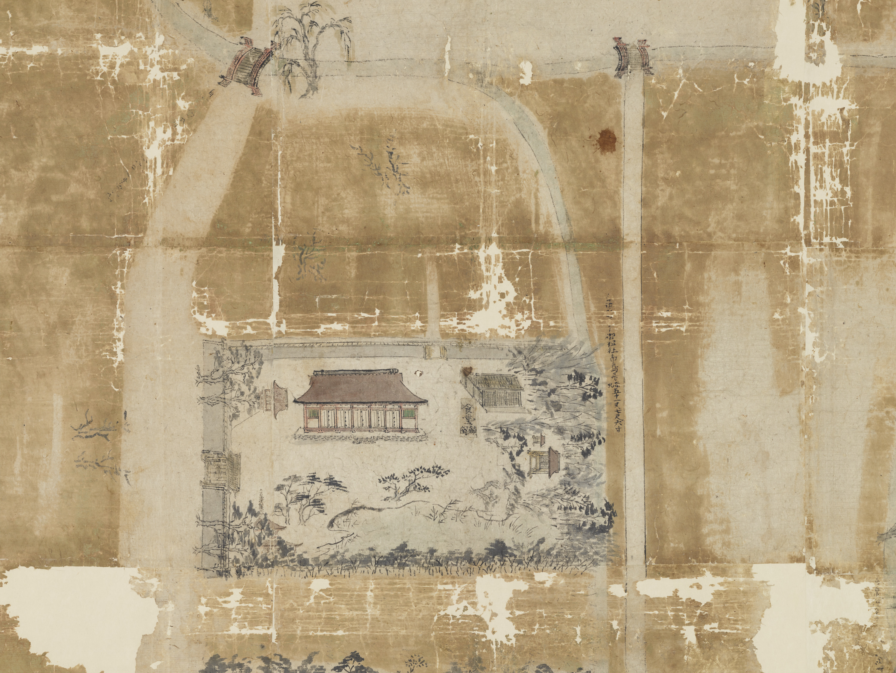
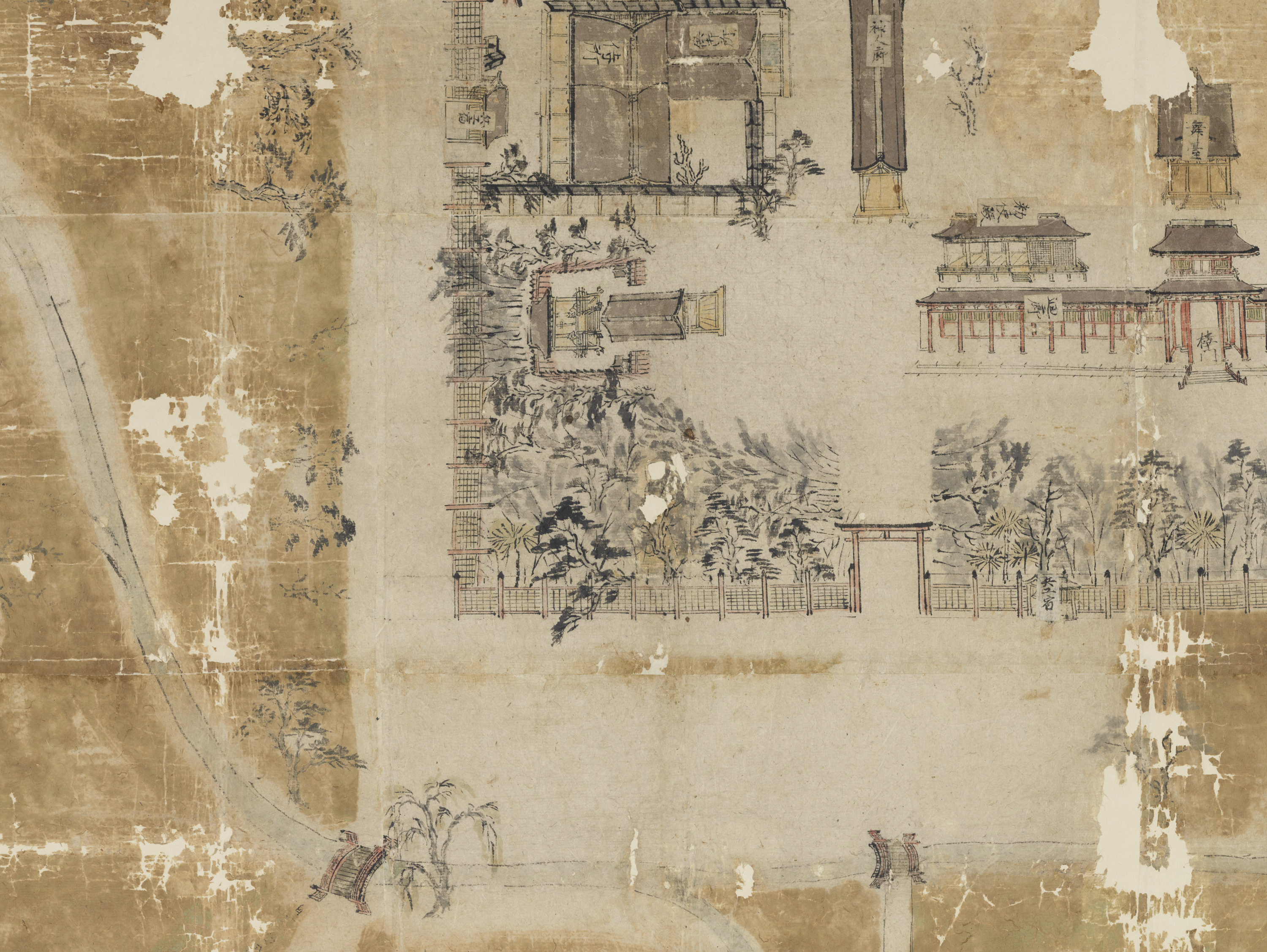
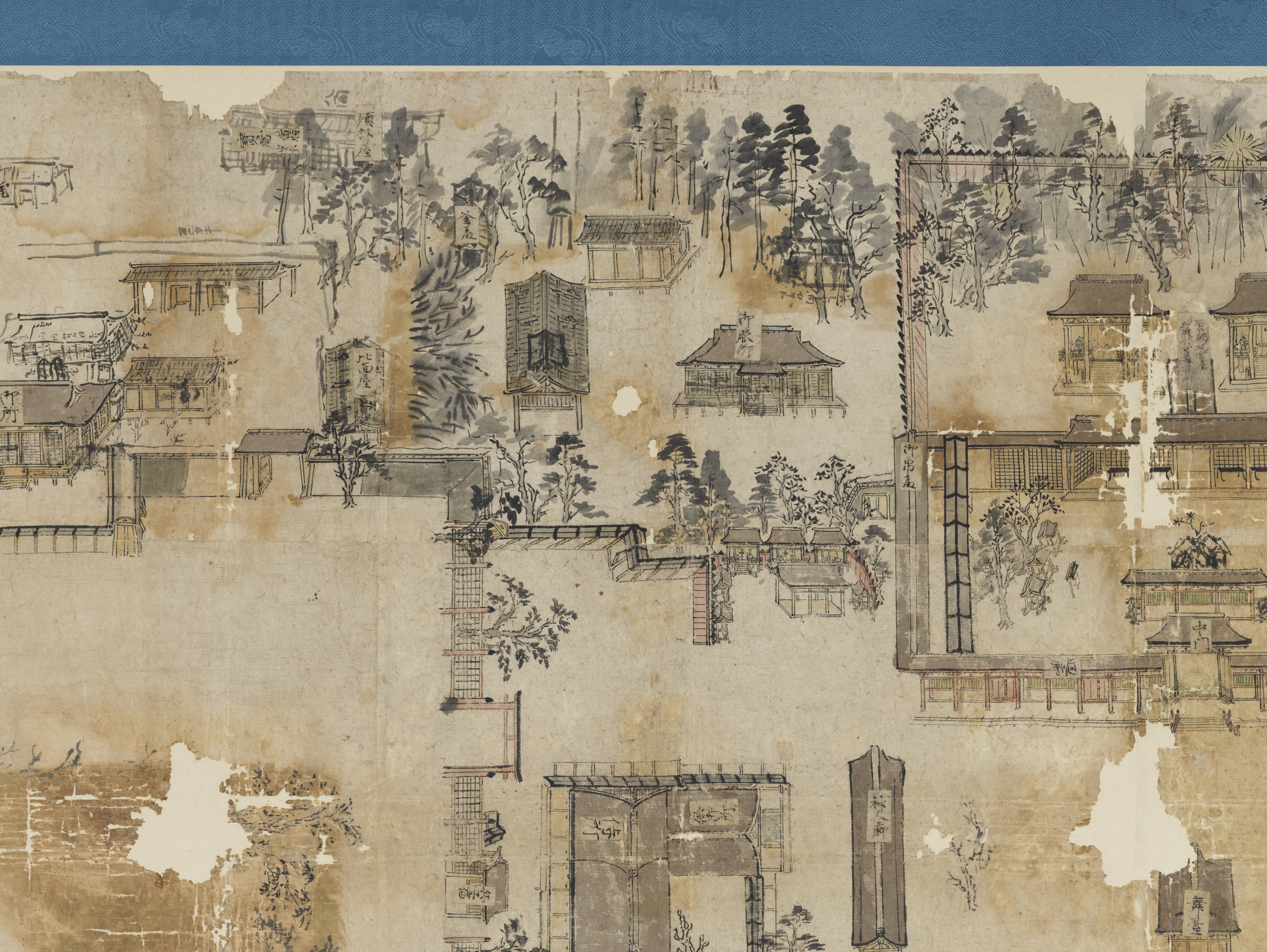
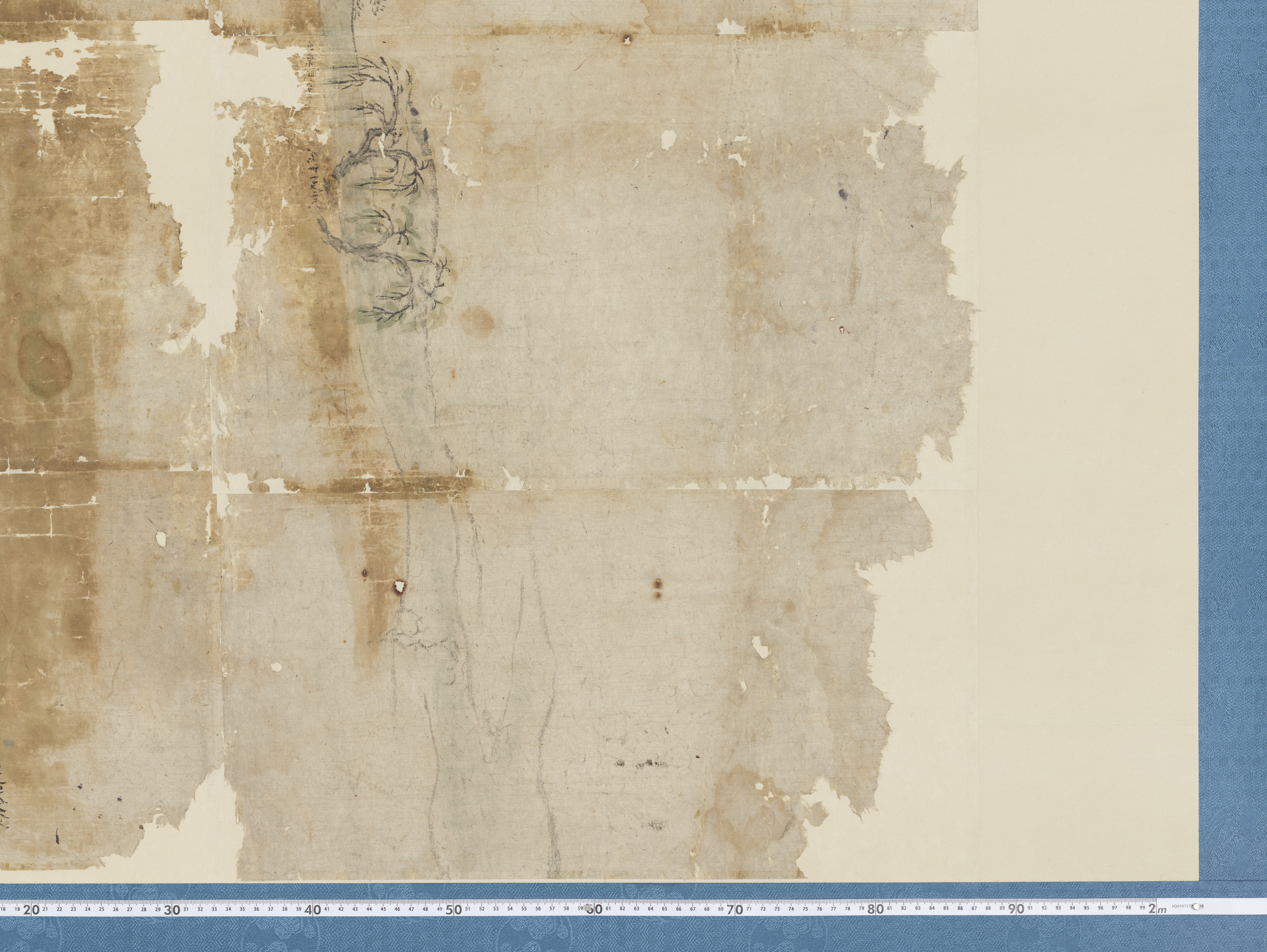
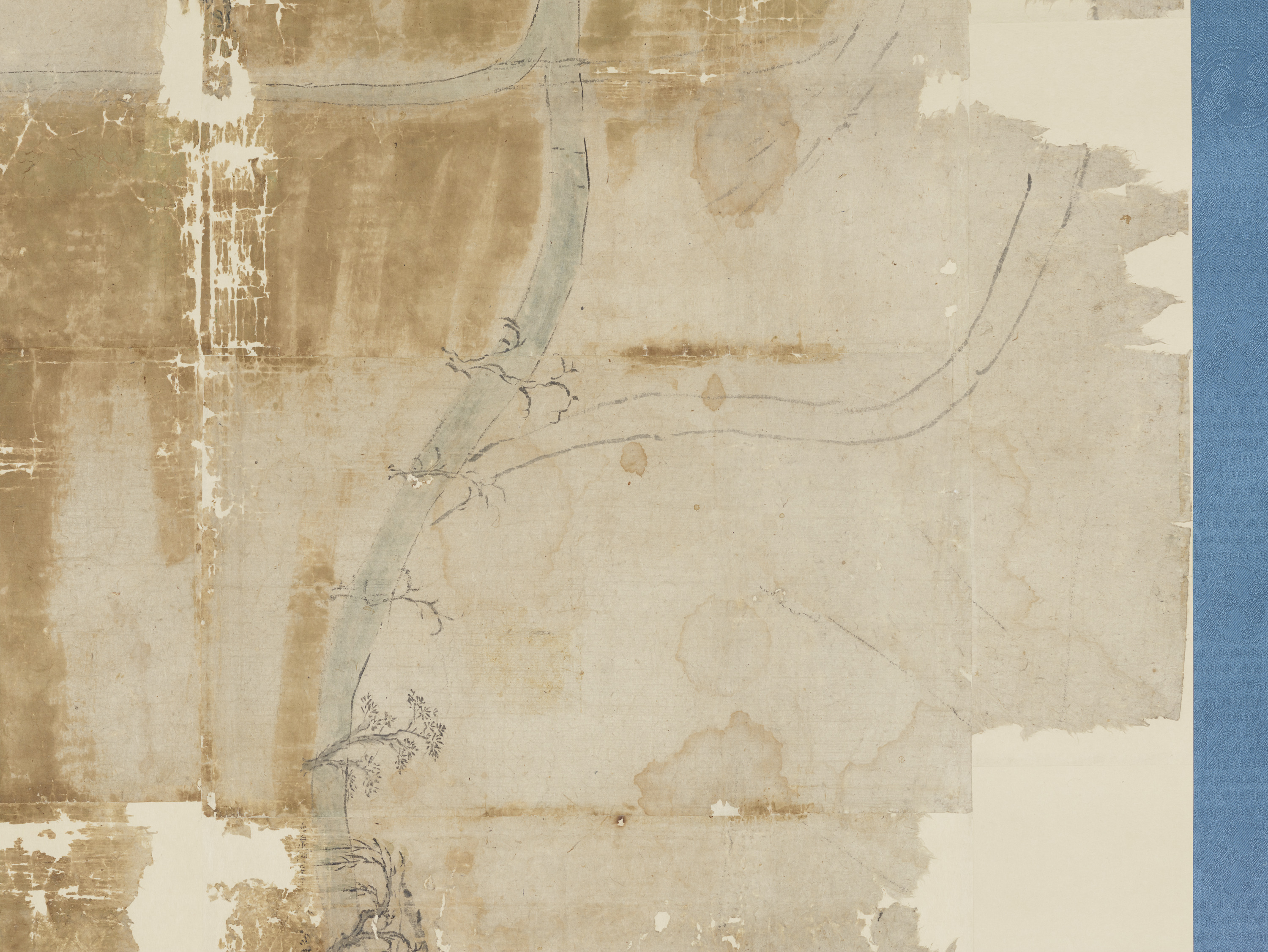
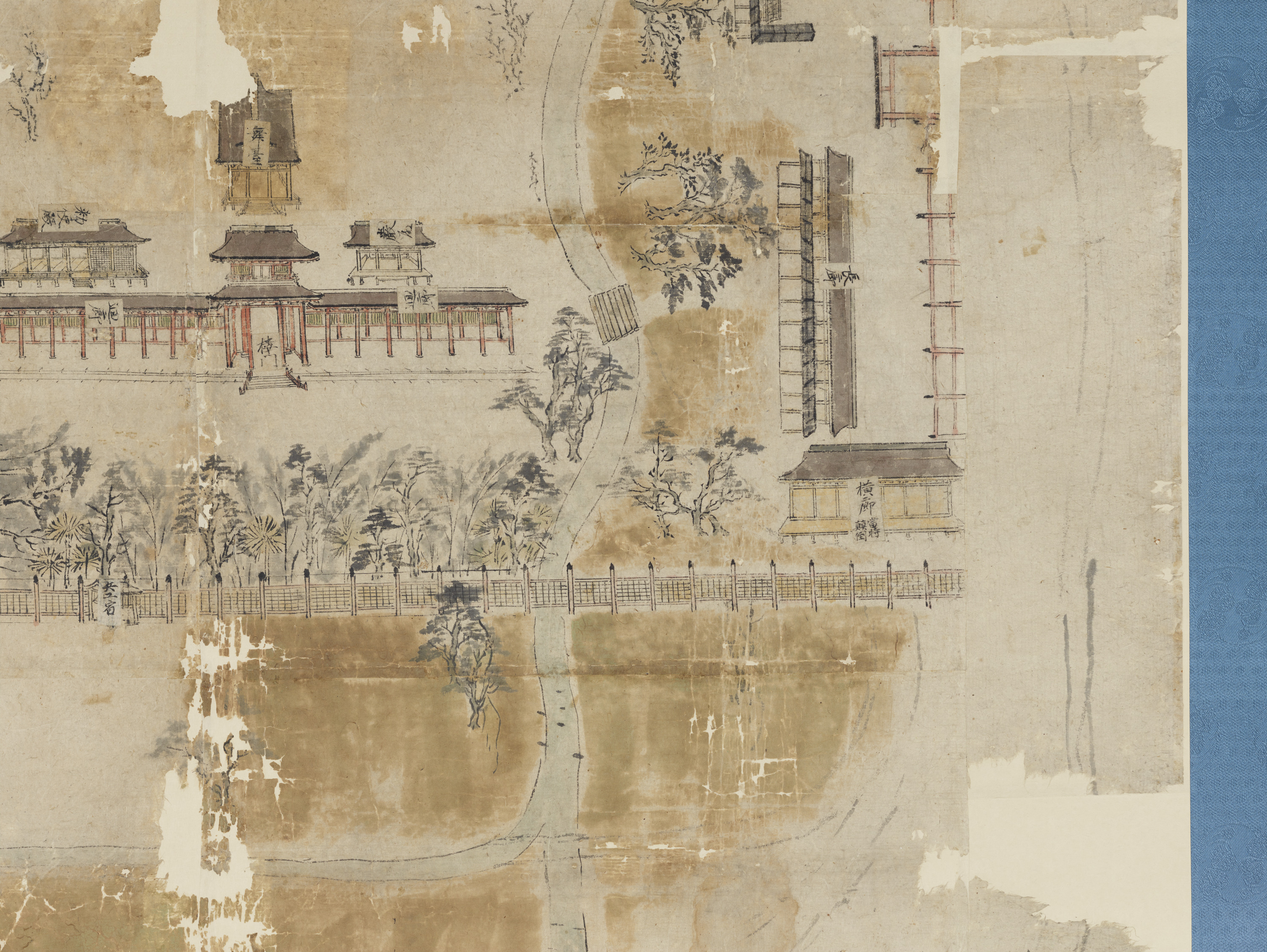
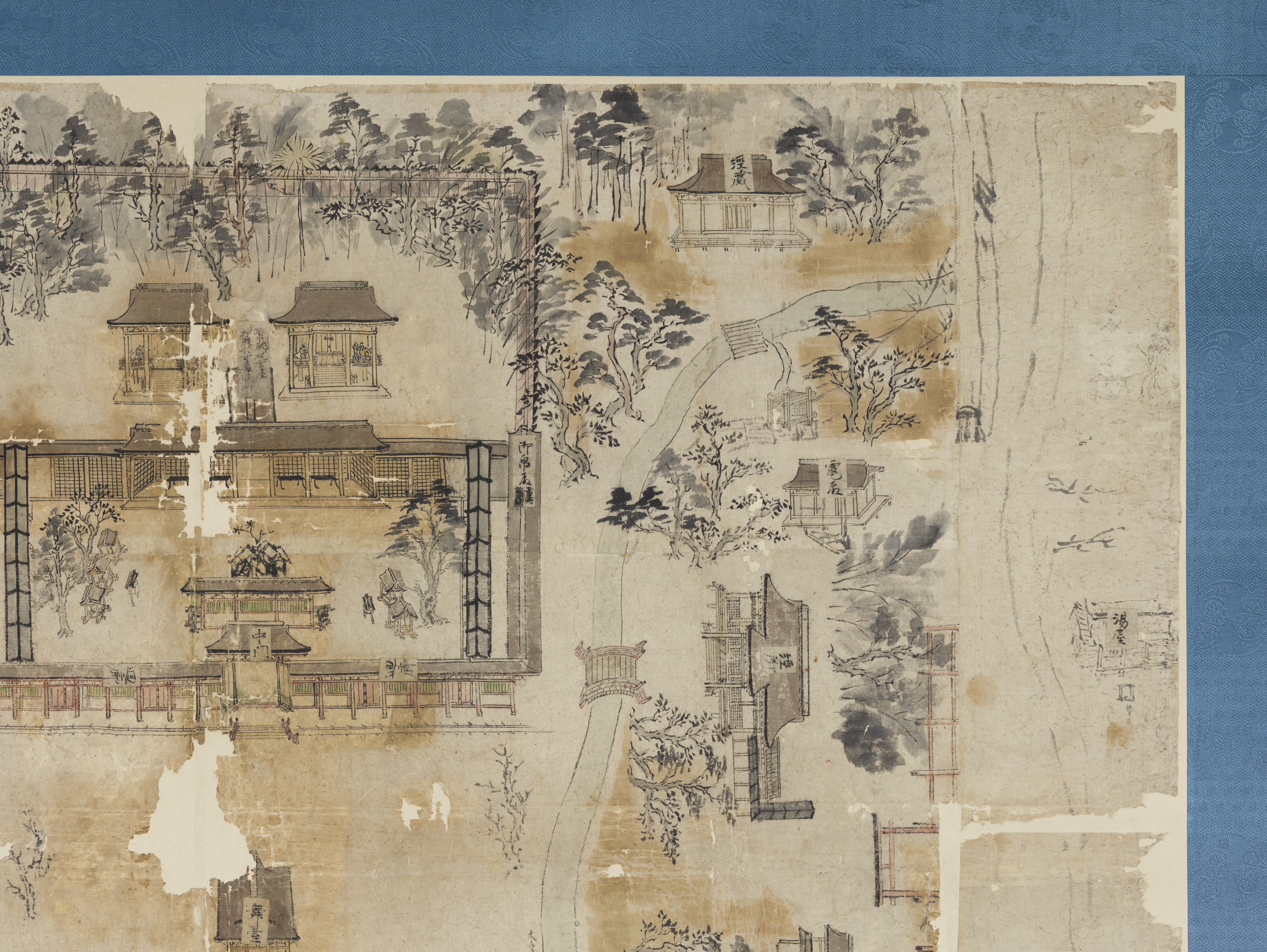
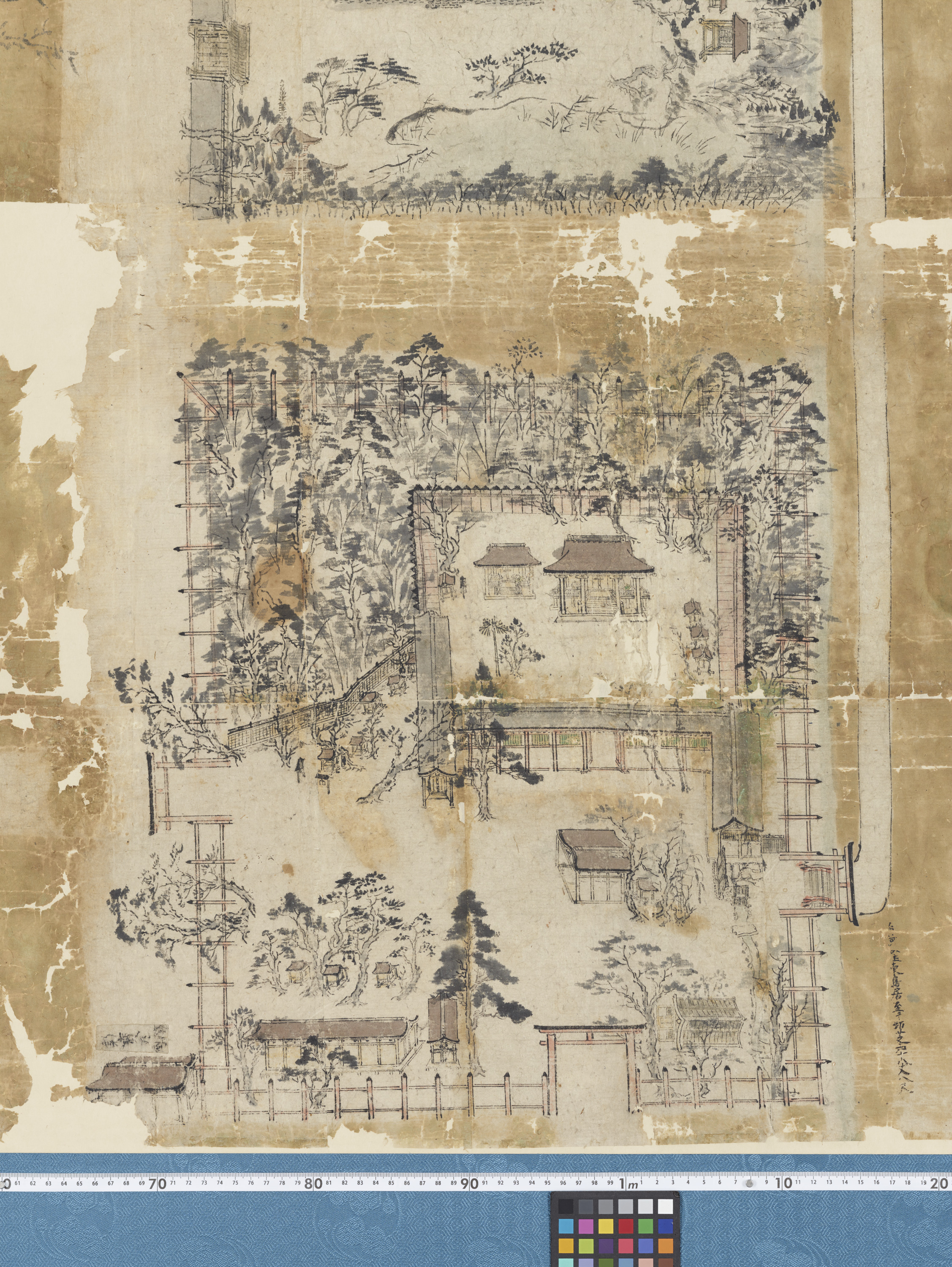
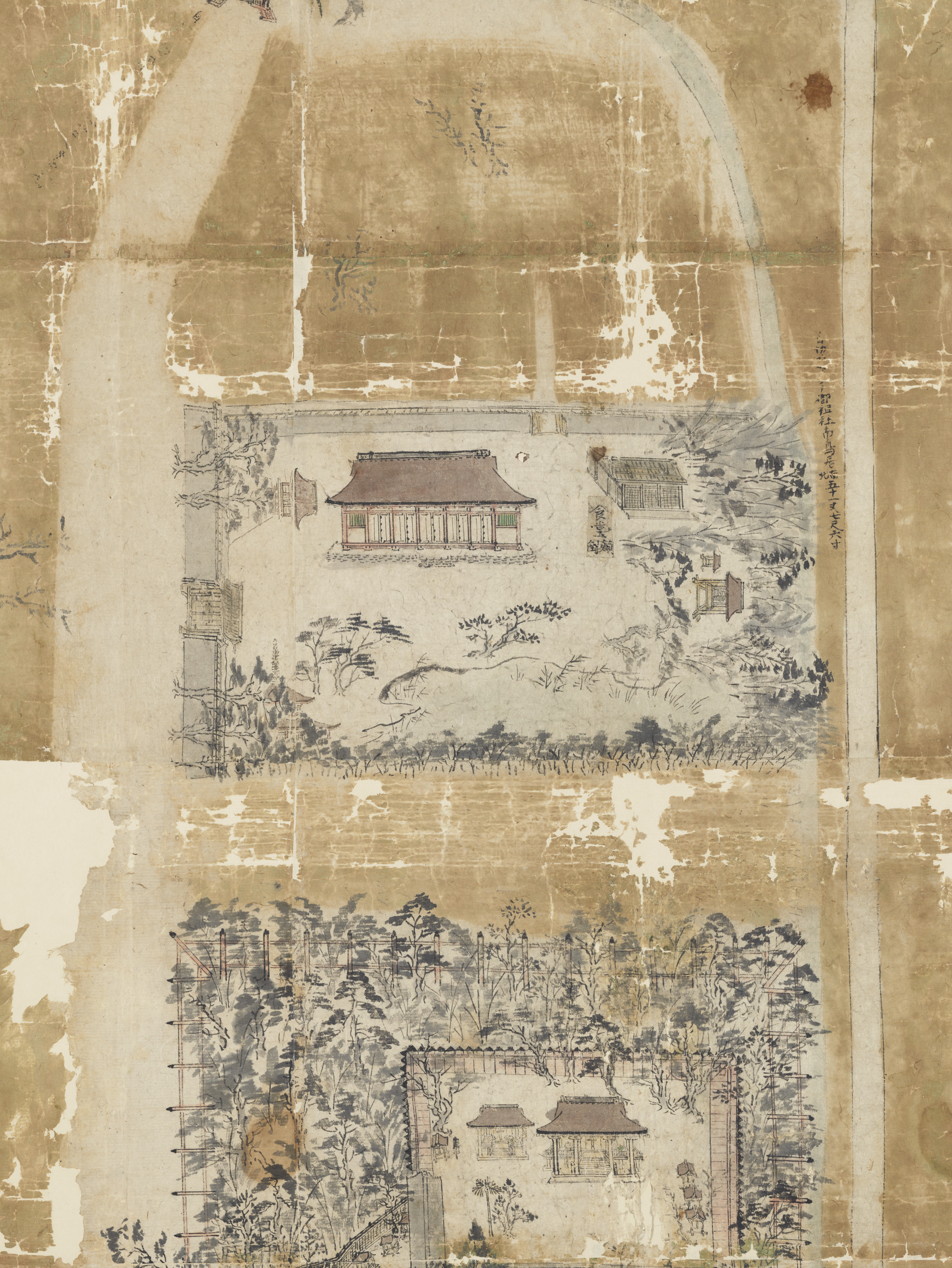
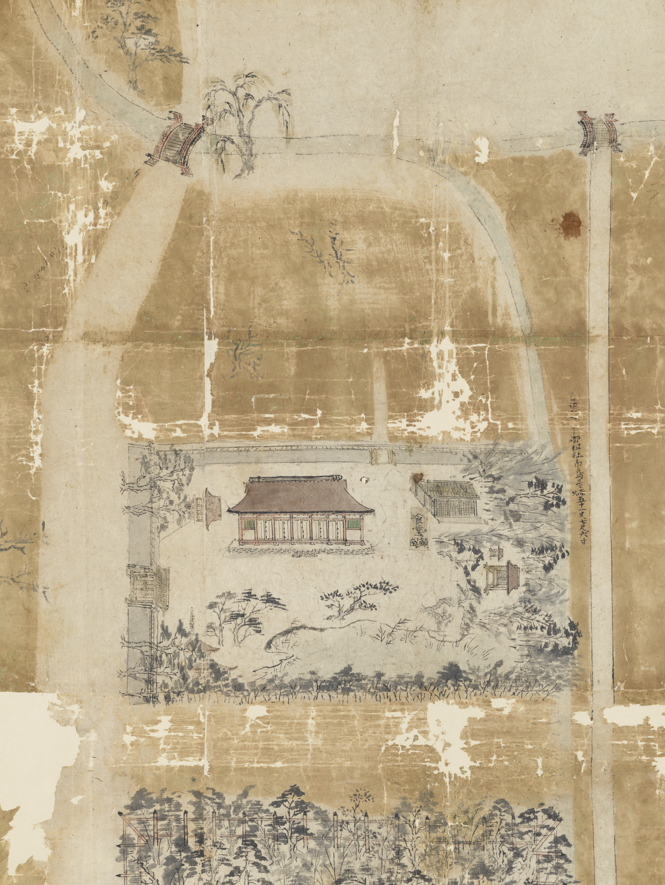
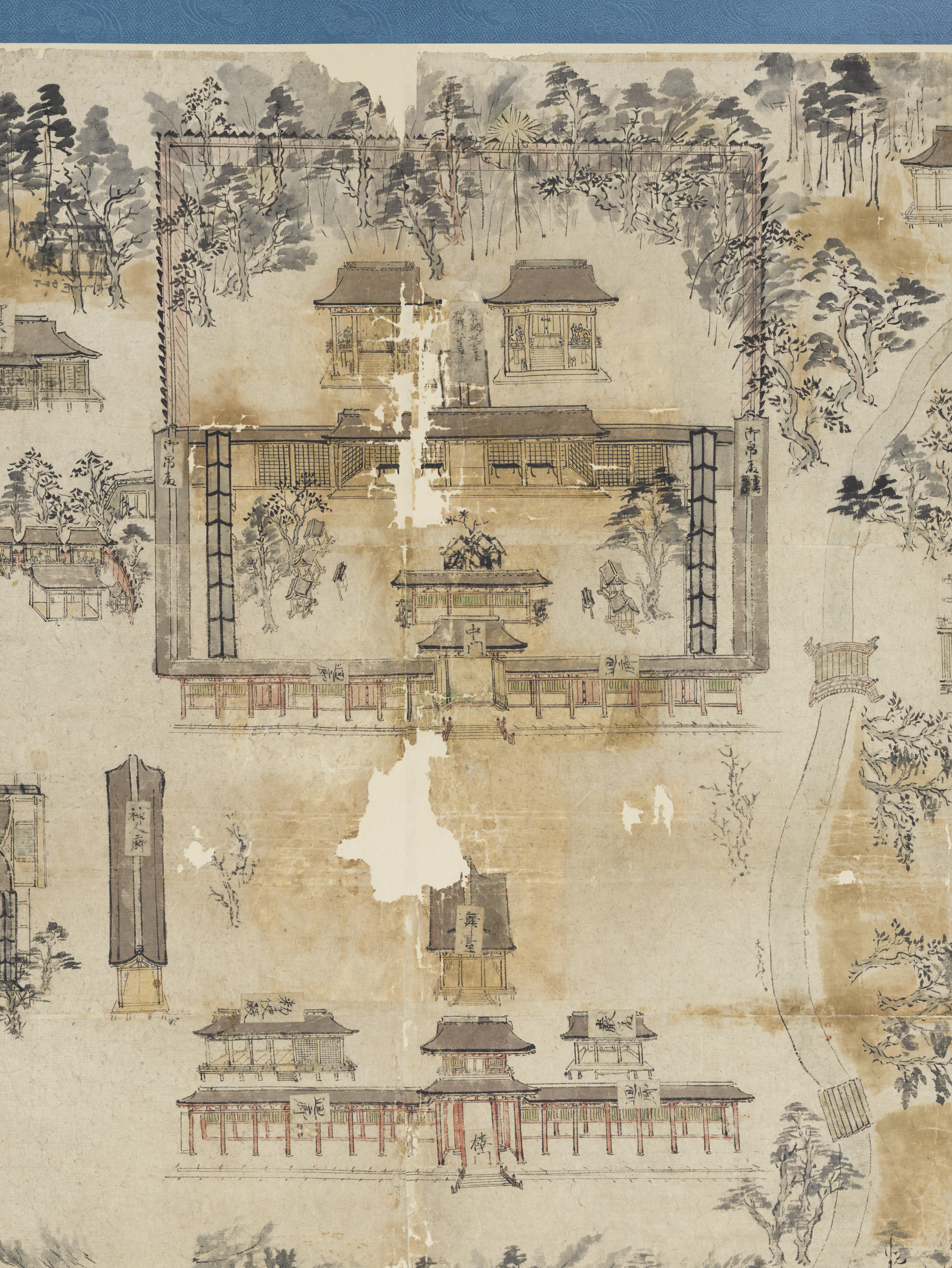
This fifteenth-century map shows the precincts of Kyoto’s Shimogamo Shrine, located on the east bank of the Kamo River. Some of the shrine buildings are labeled with inscriptions, making this map an invaluable source for tracing changes in the shrine complex over time.
Japan-Muromachi